3
46
Unlock your full potential as a Geographic Information System (GIS) and Remote Sensing data analyst with our comprehensive training program. …
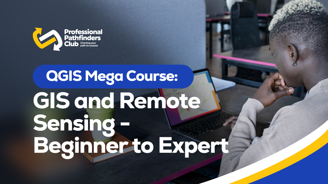
Unlock your full potential as a Geographic Information System (GIS) and Remote Sensing data analyst with our comprehensive training program. Join us on a transformative journey to becoming a QGIS expert and proficient in GIS and spatial data analysis using QGIS.
Requirements
- No prior knowledge of GIS or QGIS is necessary. Our program is designed to cater to beginners, allowing anyone with an interest in GIS to join and learn.
- Basic computer skills are sufficient to participate in the program. If you are comfortable using a computer and familiar with basic functions such as using the right mouse button, you are good to go!
- A computer with the necessary system requirements for QGIS is required. Ensure that your computer meets the specifications needed to install and run QGIS smoothly.
- Access to a reliable internet connection is essential as the program involves online learning resources, materials, and interactive sessions.
What You'll Learn
- Learn about QGIS, its environment, and interface, using the latest long-lasting release in 2021.
- Gain expertise in installing and configuring QGIS, and become familiar with its user-friendly interface.
- Harness the power of QGIS plug-ins and explore their applications, including SCP, OTB, TrendsEarth, Google Earth Engine Plug-in, and others.
- Develop a strong understanding of basic to advanced GIS concepts and analysis, both in theory and practical application.
- Dive into spatial data analysis, including vector and raster data manipulation, satellite image processing, all using QGIS 3.16.
- Master the core GIS operations on vector and raster layers, equipping yourself with the skills needed to handle complex geospatial information.
- Explore satellite image analysis techniques within the QGIS environment, enabling you to extract valuable insights from remote sensing data.
- Learn how to effectively visualize spatial data and create visually compelling GIS maps using QGIS.
- Gain hands-on experience by working on geospatial projects, following a step-by-step approach within the QGIS environment.
- Get introduced to Remote Sensing concepts and image analysis techniques integrated into QGIS, expanding your knowledge base.
- Ultimately, become an expert in GIS analysis using QGIS, elevating your proficiency and opening doors to exciting career opportunities.
Who This Course Is For:
This course is designed for a wide range of professionals who deal with GIS maps in their respective fields, including:
- Geographers: Geographers will benefit from this course as it will enhance their knowledge and skills in spatial data analysis and GIS mapping.
- Programmers: Programmers with an interest in GIS can utilize this course to gain practical experience in working with QGIS and integrating GIS functionality into their programming projects.
- Geologists: Geologists can leverage this course to explore the power of QGIS for analyzing geological data, creating geological maps, and conducting spatial analysis related to geology.
- Biologists: Biologists can benefit from this course by understanding how to analyze spatial data in their research, track species distributions, and create maps for ecological studies using QGIS.
- Social Scientists: Social scientists can gain valuable insights from this course in terms of using QGIS for analyzing spatial patterns, conducting socioeconomic analyses, and visualizing social data on maps.
- Professionals from other fields: This course is also beneficial for professionals from various disciplines who deal with GIS maps in their work. It provides a solid foundation in GIS concepts, practical skills using QGIS, and the ability to integrate spatial data analysis into their workflows.
This Course Includes:
- 7.5 hours on-demand video
- 1 articles
- 12 downloadable resources
- Access on mobile and computer
- Full lifetime access
- Certificate of completion
Description
Welcome to the QGIS Mega Course: GIS and Remote Sensing - Your Path from Novice to Expert. This comprehensive course is designed to help you unlock the power of GIS and Remote Sensing using the latest version of the open-source software QGIS. Whether you are new to GIS or want to enhance your skills, this course will guide you through practical applications and real-world projects to transform you into a GIS professional.
Course Highlights:
- Learn to navigate the QGIS software and utilize its tools and plug-ins for GIS and Remote Sensing analyses.
- Gain proficiency in working with vector and raster data, as well as satellite imagery, for your professional projects.
- Master the installation of QGIS and explore essential plug-ins like SCP, TrendsEarth, Google Earth Engine, SAGA, and OTB processing toolboxes.
- Develop a strong foundation in GIS and Remote Sensing fundamentals, covering core concepts and components.
- Acquire comprehensive knowledge of data operations, including advanced techniques for vector and raster data analysis.
- Discover how to preprocess images, calculate spectral indices, perform land use and land cover classifications using Machine Learning, and create informative maps for reports.
- Hands-on exercises with downloadable materials, scripts, and datasets ensure practical learning and proficiency in using QGIS.
Practical Hands-On Experience:
Throughout the course, you will engage in practical exercises with precise instructions and downloadable resources. These exercises enable you to create maps and conduct geospatial analysis seamlessly using QGIS.
Enroll now and embark on this transformative journey to become a GIS professional of tomorrow. Unleash your potential and harness the power of GIS and Remote Sensing with QGIS!
Course Currilcum
-
- 3. QGIS – open source GIS software – an absolute leader in the free market Details 00:06:00
- 4. Installing QGIS on your PC – versions of QGIS Details 00:03:00
- 5. Lab 1: QGIS installation Details 00:13:00
- 6. A note on QGIS versions and it’s plug-ins Details 00:09:00
- 7. QGIS interface: Toolbars Details 00:00:00
- 8. QGIS Plugi-Ins Details 00:08:00
- 9. What is Geographic Information System (GIS)? Details 00:02:00
- 10. Basics of Geodata and its main types Details 00:03:00
- 11. Adding vector layer to QGIS Details 00:05:00
- 12. Visualization of vector layers in QGIS Details 00:05:00
- 13. Adding and visualizing raster files in QGIS 3.16 Details 00:10:00
- 14. Saving the project in QGIS Details 00:02:00
- 15. GIS data sources – learn where to find the GIS data Details 00:07:00
- 35. Adding raster layers to QGIS project Details 00:06:00
- 36. Compute Topographical variables with the DEM raster layer Details 00:03:00
- 37. Compute Topographical variables with the DEM raster layer: Slope & Aspect Details 00:04:00
- 38. Reclassify Rasters with SAGA Toolbox in QGIS Details 00:00:00
- 39. Resampling raster data in QGIS Details 00:05:00
- 40. Advance raster overlay operations with SAGA Toolbox Details 00:11:00
- 41. Filtering raster data: Low Pass filter Details 00:06:00
- 52. What is Remote Sensing Details 00:06:00
- 53. Applications of Remote Sensing Details 00:08:00
- 54. What is Remote Sensing Image? Details 00:03:00
- 55. Installing Semi-Automatic Classification Plug-in Details 00:03:00
- 56. Lab: Download satellite image with the Semi-Automatic Classification Plugin Details 00:14:00
- 57. Resolution types of Satellite Image Details 00:09:00
- 58. Image Display (Image Composites) Details 00:16:00
- 59. Planning Satellite Image Analysis Workflow Details 00:03:00
- 60. Image Enhancement Details 00:09:00
- 61. Calculation of spectral indices: NDVI Details 00:07:00
- 62. Image thresholding & visualization: example Details 00:13:00
- 63. Making a map layout in QGIS: Example of NDVI Details 00:07:00
- 69. Introduction to the section Details 00:04:00
- 70. Overview of OTB Details 00:05:00
- 71. Google Earth Engine Plug-In Details 00:07:00
- 72. Trends.Earth Plugin for QGIS Details 00:03:00
- 73. Installation of Trends.Earth Plugin Details 00:03:00
- 74. Registration for Trends.Earth Plugin Details 00:02:00
- 75. Where to get help on Trends.Earth Details 00:02:00
- 76. Map project Details 00:02:00
Course Reviews
5
- 5 stars3
- 4 stars0
- 3 stars0
- 2 stars0
- 1 stars0
Related Courses

GEOVIA Surpac: Complete Training from Survey To Estimation
July 21, 2026₵500.00Original price was: ₵500.00.₵400.00Current price is: ₵400.00.
SHRM CP & SCP Certification Exam Mastery
July 21, 2026₵2,000.00Original price was: ₵2,000.00.₵1,500.00Current price is: ₵1,500.00.
Datamine Studio RM: Block Modelling and Resource Estimation Basics
July 21, 2026₵250.00
Nice course
Great course taken. I am thrilled to learn this course to better my career
Excellent